
How many district in Mauritius refers to the nine mainland administrative regions that structure governance, geography, and travel planning across the island. This guide explains each district, their key features, and how they help travellers understand Mauritius beyond just beaches
Understanding How Many District in Mauritius
Understanding how many district in Mauritius is important for both governance and travel planning because the island is divided into nine distinct mainland districts. Each district plays a role in administration while also offering unique cultural, coastal, and inland experiences.
For travellers, this structure helps organise itineraries more efficiently when exploring broader guides such as Mauritius travel guide and regional planning insights like what regions should I explore in Mauritius.
Administrative Structure of Mauritius Districts
Mauritius operates under a decentralized district council system designed to manage infrastructure, public services, and regional development across the island. This governance model helps ensure that both urban and rural areas receive balanced attention while supporting tourism, economic activity, and local administration.
How the District Council System Works
Local Councils Oversee Each District
- Each district in Mauritius is managed by a local district council responsible for day-to-day governance.
- Councils handle community services, local infrastructure maintenance, and municipal planning.
- This localized structure improves responsiveness to regional needs.
Regional Distribution of Government Services
- Public services such as waste management, road maintenance, and community facilities are distributed across districts rather than centralized in one authority.
- This approach ensures that residents in both coastal and inland areas have equitable access to essential services.
- It also reduces pressure on major urban centres like Port Louis.
Separate Urban and Rural Planning
- Urban planning focuses on cities and densely populated areas, addressing housing, transport, and commercial development.
- Rural planning prioritises agriculture, land use, and environmental conservation.
- This separation helps maintain a balance between development and natural preservation.
Impact on Tourism and Development
Balanced Regional Growth
- The district system encourages development across all regions, not just tourist hotspots.
- Coastal areas benefit from infrastructure improvements, while inland regions maintain ecological and cultural value.
Improved Tourism Distribution
- Tourism activity is spread across North, East, South, and West coasts, reducing overcrowding in specific zones.
- Visitors experience a more diverse range of destinations, from beaches to mountains and cultural sites.
Infrastructure Coordination
- Road networks, public facilities, and regional services are managed in a way that supports smooth travel between districts.
- This enhances accessibility for tourists exploring multiple regions of the island.
Complete List of the 9 Districts in Mauritius
| District | Region | Key Highlights |
| Port Louis | North-West | Capital city, markets, museums |
| Pamplemousses | North | Botanical gardens, historic sites |
| Rivière du Rempart | North-East | Beaches, resorts |
| Flacq | East | Largest district, coastal tourism |
| Grand Port | South-East | History, coastal landmarks |
| Savanne | South | Cliffs, nature landscapes |
| Black River | West | National park, hiking trails |
| Plaines Wilhems | Central | Urban hub, business district |
| Moka | Central | Mountains, viewpoints |
This breakdown is useful when planning routes using resources like where to go in Mauritius.
Geography and Regional Importance
Each district reflects Mauritius’ volcanic origin and coastal geography. Coastal districts focus heavily on tourism, while central districts are more urban and administrative.
- Coastal zones support tourism and resorts
- Central regions focus on business and governance
- Southern areas emphasise natural landscapes
Travel planning becomes easier when combined with Mauritius travel.
Why Understanding Districts Matters for Travellers
Knowing how many district in Mauritius helps travellers:
- Plan efficient multi-location itineraries
- Understand travel distances between regions
- Choose accommodation based on district features
- Explore both coastal and inland attractions
This improves trip planning alongside insights from what should I know before visiting Mauritius.
Travel Flow Between Districts
Mauritius is compact, making it easy to move between districts in a single day.
- North to west: beach to mountain transitions
- Central routes: city and cultural exploration
- South regions: nature-focused travel
Transport planning is easier with guides like how can I travel smartly around Mauritius.
District-Based Attractions Overview
- Port Louis: Cultural markets and capital landmarks
- Black River: Hiking and national park exploration
- Flacq: Long beaches and local markets
- Pamplemousses: Botanical gardens
These attractions connect well with curated experiences from what are the best day tours in Mauritius.
How Many District in Mauritius Shapes Island Travel Understanding
Understanding how many district in Mauritius gives travellers a clear framework of the island’s nine administrative regions and how each contributes to culture, geography, and tourism planning. This structure makes it easier to explore Mauritius efficiently and experience both urban and natural highlights.
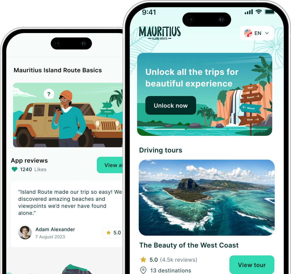
Mauritius has 9 distinct districts each with its own character. You can explore every district on your own schedule with Island Route – the self-guided GPS tour app for Mauritius.
Explore Mauritius Districts with Smart Travel Planning
Plan your journey across all nine districts with expert travel insights and route guidance at islandroute.io. Use structured itineraries and local tips to explore Mauritius with confidence and efficiency.