
The map of Mauritius with districts helps travellers navigate the island efficiently by highlighting its nine administrative regions. Each district offers unique experiences, from bustling Port Louis to the rugged landscapes of Savanne. Understanding these divisions ensures visitors make the most of their island adventure, balancing culture, nature, and coastal beauty.
Exploring the Map of Mauritius With Districts: A Guide
A map of Mauritius with districts is essential for understanding the island’s structure and planning your trip effectively. The nine districts, Port Louis, Pamplemousses, Rivière du Rempart, Flacq, Grand Port, Savanne, Black River, Moka, and Plaines Wilhems offer a diverse range of attractions, from historical sites and cultural hubs to breathtaking beaches and national parks. By using this map, travellers can align their itineraries with each district’s unique offerings, ensuring a well-rounded exploration of Mauritius.
Mauritius is a volcanic island nation located in the Indian Ocean, celebrated for its diverse landscapes and rich cultural heritage. To truly understand the layout of this mauritius island, one must first look at a map of Mauritius with districts. This administrative organisation divides the main island into nine distinct regions, each offering unique attractions ranging from the bustling urban centre of the capital to the rugged, untouched beauty of the southern coastline. Understanding these boundaries is essential for any traveller looking to maximise their time on the island.
The Administrative Landscape of Mauritius
The geographic organisation of the island is deeply rooted in its history.
Historical context: The current districts of Mauritius serve as the primary administrative divisions, helping to manage everything from local governance to resource allocation. While the main island is the focus for most visitors, the Republic also includes several dependencies. For those planning a trip, knowing where to stay in Mauritius often depends on which district aligns with your preferred activities, whether it be hiking in the southwest or lounging on the eastern shores.
| District | Capital | Tourist Highlights |
|---|---|---|
| Port Louis | Port Louis | Museums, markets |
| Pamplemousses | Triolet | Botanical Garden |
| Rivière du Rempart | Mapou | Beaches, resorts |
| Flacq | Centre de Flacq | Belle Mare |
| Grand Port | Mahébourg | History |
| Savanne | Souillac | Nature |
| Black River | Bambous | National Park |
| Moka | Quartier Militaire | Mountains |
| Plaines Wilhems | Beau Bassin–Rose Hill | Urban attractions |
A Closer Look at the Nine Districts
A detailed mauritius map reveals nine primary districts, each offering distinct experiences for travellers. Understanding these regions is essential for planning your itinerary efficiently, as it allows you to combine cultural exploration, natural beauty, and leisure activities without missing key highlights. From bustling cities to tranquil coastal areas, each district offers something unique for visitors. These regions are the framework for discovering the most famous places to visit in Mauritius
Overview of All Districts in Mauritius
Port Louis
- Visitors can explore vibrant markets, colonial-era buildings, museums, and the Aapravasi Ghat, providing deep insight into the island’s history.
- Port Louis is also a gateway to the northern and western coastal beaches, making it an ideal starting point for first-time travellers.
Visitors often seek out the best restaurants and things to do in this vibrant hub. Knowing how to get to Port Louis is a priority for most tourists, as it serves as a gateway to historical sites like the Aapravasi Ghat
Pamplemousses
- Located in the northwest, this district is best known for the world-famous Sir Seewoosagur Ramgoolam Botanical Garden, a must-visit for nature lovers and plant enthusiasts.
- Beyond its gardens, Pamplemousses offers charming local villages, historical colonial buildings, and lush agricultural landscapes, perfect for cultural and eco-tourism.
- Its proximity to northern beaches like Grand Baie also makes it a popular area for combining nature and coastal exploration.
Rivière du Rempart
- Situated in the northeast, this district features a mix of luxury resorts, vibrant beach life, and picturesque lagoons.
- Known for its excellent swimming conditions and calm waters, it’s ideal for families, snorkelers, and water sports enthusiasts.
- The district also hosts local festivals and markets, offering visitors a taste of authentic Mauritian culture alongside their beach adventures.
Flacq
- The largest district on the island, Flacq is renowned for its expansive white-sand beaches and lively open-air markets.
- Visitors can enjoy long coastal walks, sunbathing, and water sports while exploring the vibrant town centres that showcase Mauritian traditions.
- Flacq also serves as a hub for food tours, local crafts, and cultural experiences, giving travellers an immersive taste of the island’s lifestyle.
Grand Port
- Rich in history, Grand Port is the site where early Dutch settlers first landed.
- The district offers historic landmarks, museums, and charming coastal villages that provide insight into Mauritius’ colonial past.
- Its scenic harbours and bays also make it an attractive spot for photography, sailing, and cultural tours.
Savanne
- Located in the southern part of the island, Savanne is characterised by dramatic cliffs, lush forests, and stunning waterfalls.
- The district is ideal for adventure seekers and nature enthusiasts, offering hiking trails, panoramic viewpoints, and secluded beaches.
- Its rugged landscapes contrast sharply with the more developed northern districts, providing travellers with a sense of untouched natural beauty. It is a must-see on any list of mauritius tourist places.
Black River
- This district is home to the Black River Gorges National Park, one of the island’s largest protected areas.
- Visitors can hike through winding trails, spot endemic wildlife, and enjoy breathtaking views of valleys, rivers, and forests.
- Black River is perfect for eco-tourism, birdwatching, and experiencing the more tranquil and green side of Mauritius.
Plaines Wilhems
- Located on the central plateau, Plaines Wilhems is known for its cooler climate, urban centres, and residential towns.
- This district offers a blend of modern lifestyle and natural surroundings, including gardens, small parks, and viewpoints.
- Its central location makes it a convenient base for travellers wanting to access both northern and southern attractions easily.
Moka
- Nestled inland and surrounded by scenic mountains, Moka provides a peaceful retreat from the coastal bustle.
- It offers hiking trails, panoramic viewpoints, and serene landscapes ideal for relaxation, photography, and outdoor activities.
- The district is also known for its cultural and educational centres, offering a deeper insight into the daily life and heritage of Mauritius.
By exploring each of these nine districts, travellers can experience the full diversity of Mauritius, from bustling urban centres and historical landmarks to tranquil beaches, waterfalls, and protected nature reserves. Planning your itinerary with a district-based approach ensures a balanced journey, maximising both adventure and relaxation while uncovering the hidden gems of the island.
Key Geographical Statistics and Information
When analyzing the administrative divisions of the island, data provides a clearer picture of the island’s demographics.
Demographic trends: According to official population statistics, the distribution of residents varies significantly between the coastal areas and the central plateau. For a breakdown of population density and administrative data, researchers often look to the central plateau districts as the primary residential hubs. These statistics help urban planners and travel strategists understand the movement of people and goods across the island’s infrastructure.
How a Mauritius District Map Simplifies Travel Planning
A Mauritius district guide helps travellers organise their itinerary by showing where major attractions, beaches, nature reserves, and towns are located across the island. Using a travel planning Mauritius map makes it easier to estimate travel times, choose the best area to stay, and group nearby destinations into the same day, creating a more efficient and enjoyable trip.
Benefits of Using a District Map
- Plan smarter routes by grouping nearby attractions instead of travelling across the island multiple times.
- Choose the right district based on your interests, whether it’s beaches in the north, hiking in Black River, or cultural landmarks in Port Louis.
- Save travel time by understanding the distance between districts before planning day trips.
- Explore beyond popular attractions by discovering local villages, markets, and scenic viewpoints along the way.
Benefits of Using a District Map for Travel
Optimised Itineraries: Plan routes between attractions to avoid backtracking and maximise time.
Time Management: Estimate travel times between districts, especially for inland versus coastal areas.
Activity Clustering: Identify nearby attractions in the same district to enjoy a full day without long commutes.
Cultural Insights: Understand how traditions, cuisine, and architecture vary by district.
Safety & Logistics: Locate hospitals, police stations, and emergency services in each district.
Exploring Hidden Gems With a Mauritius District Map
A map of Mauritius with districts also helps uncover less-known attractions and experiences off the beaten path. Beyond popular beaches and cities, each district holds hidden gems that offer authentic encounters with the island’s culture, history, and nature.
Tips to Discover Hidden Gems
Follow the Smaller Roads: District maps reveal rural paths leading to secluded beaches, waterfalls, and hiking spots.
Local Markets and Villages: Navigate to villages where local crafts, food, and traditions are preserved.
Nature & Eco-Tourism: Use the map to locate protected areas, nature reserves, and birdwatching sites.
Cultural Sites Off the Main Trail: Identify smaller temples, colonial houses, and historical estates that are district-specific.
Seasonal Events: Certain districts host annual festivals or ceremonies; the map can help plan visits to coincide with these events.
By leveraging a district-based map, travellers can explore both the iconic highlights and the hidden treasures of Mauritius, making their trip richer, more diverse, and uniquely memorable.
Planning Your Trip Around District Zones
Using a map of Mauritius with districts allows travellers to organise their trip efficiently by focusing on distinct zones. Each district has its own rhythm, attractions, and vibe, so grouping activities by district helps create a smoother, more enjoyable travel experience.
How to Plan Using District Zones
Northern Districts First: Cluster visits to northern districts for beaches, resorts, and cultural villages to start your trip with vibrant energy.
Central Districts for Culture & Urban Life: Explore Moka and Plaines Wilhems for museums, shopping, and local gastronomy in a single day.
Southern Districts for Nature & Adventure: Dedicate days to Black River and Savanne for hiking, waterfalls, and eco-tourism.
East Coast & Lagoon Days: Plan activities like snorkelling, water sports, or quiet beach walks in Flacq or Rivière du Rempart.
Time-Saving Tips: Use the district map to plan back-to-back visits within the same zone instead of crisscrossing the island.
Hidden Experiences: Look for off-the-beaten-path attractions like small villages, gardens, or viewpoints unique to each district.
By aligning your itinerary around district zones, you can experience Mauritius in an organised, stress-free way, maximising time for sightseeing, adventure, and relaxation while uncovering the unique character of each district.
Navigating Your Journey Using a Map of Mauritius With Districts
Using a map of Mauritius with districts as your primary planning tool allows for a more structured and rewarding travel experience. By identifying the boundaries of each region, you can better coordinate your travel times and ensure you don’t miss the subtle cultural shifts that define the Mauritian experience. Whether you are moving from the historic streets of Port Louis to the natural wonders of Savanne, the district system provides a reliable framework for exploration. It allows you to weave together a narrative of the island that includes its colonial past, its vibrant present, and its breathtaking natural future.
Plan Your Mauritius Adventure With Island Route
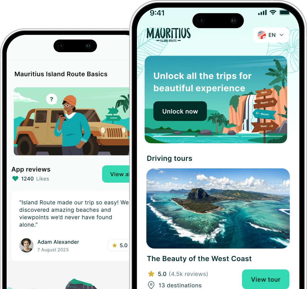
Take your trip further by pairing a map of Mauritius with districts with the Island Route app. Discover hidden gems, track must-see attractions, and organise your itinerary effortlessly. Start exploring today by visiting IslandRoute.io and make your Mauritius adventure stress-free and unforgettable.
Ready to explore the districts yourself? Plan your district tour with Island Route for GPS navigation and local audio stories at every stop.