
A Mauritius tourist map helps travellers navigate the island efficiently, from coastal beaches to inland attractions. Planning routes in advance saves time and enhances your overall experience. Pairing your itinerary with weather awareness ensures a smooth and enjoyable trip.
How Is the Weather in Mauritius: Plan Your Trip with a Tourist Map
Planning a tropical getaway requires more than just booking a flight, it involves understanding the geography, climate, and attractions of the destination. Mauritius is not just a picturesque island with turquoise lagoons and lush sugarcane fields; it is a destination with a rich cultural heritage and diverse landscapes. Using a Mauritius tourist map, whether digital or physical can help you navigate its winding coastal roads, scenic mountains, and historic towns efficiently. By mapping out key districts, beaches, and natural attractions, travellers can ensure they see the best the island has to offer while maximising their time. Whether you are wondering about the Mauritius location or mapping out specific districts, having a clear visual guide ensures you do not miss any hidden gems. From the bustling streets of Port Louis to the tranquil southern coastline, a well-prepared itinerary backed by an accurate map transforms a simple vacation into an organised and stress-free adventure.
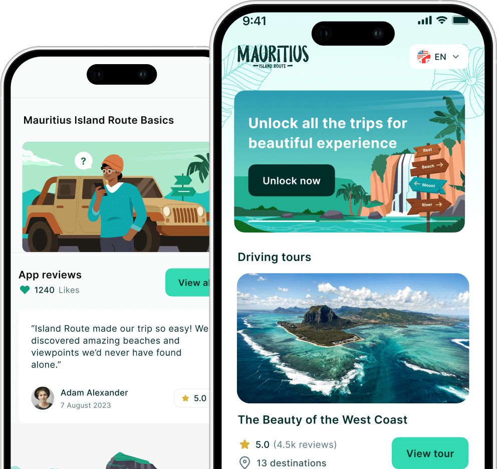
Want more than a map? Get the full GPS tourist route with Island Route – audio commentary plays automatically as you reach each attraction.
Navigating the Island with Accuracy
A good Mauritius travel map gives travellers a spatial understanding of the island’s layout and helps plan every journey, whether by car, scooter, or public transport. Modern maps, including topographic and satellite views, allow visitors to anticipate elevation changes, locate hidden trails, and identify natural landmarks such as waterfalls and coral reefs.
Key benefits of using a Mauritius tourist map:
Route Planning: Identify the shortest and most scenic routes between attractions to save time.
Landmark Pinning: Mark must-see spots like Le Morne Brabant, Chamarel Waterfall, or Grand Baie for easy reference.
Topography Insights: Understand mountain ranges, valleys, and coastal cliffs for hiking or sightseeing trips.
Accessibility: Find roads suitable for vehicles or areas where walking is preferable.
Offline Navigation: Many digital maps allow offline downloads, which is useful in areas with poor signal.
Using these tools helps you identify the best visit-worthy places without wasting time on unnecessary travel or long detours. With these tools, travellers can confidently explore Mauritius without worrying about getting lost or missing out on iconic spots. The map becomes more than a navigational aid, it is a planning companion that helps optimise time, energy, and experiences.
Exploring the Island’s Districts and Sites
Mauritius is a diverse island with nine administrative districts, each offering a unique atmosphere, landscape, and cultural experience. From the bustling urban centres of Plaines Wilhems and Port Louis to the serene coastal stretches of Savanne and Grand Port, a Mauritius tourist map helps travellers navigate the variety of experiences efficiently. Using a detailed map, visitors can plan their days strategically, ensuring that each district’s highlights are fully explored without wasting time or energy.
District Highlights and Key Attractions
Each district has its own charm, history, and natural beauty. By consulting a map before setting out, travellers can visualize distances, cluster attractions geographically, and design an itinerary that balances leisure with adventure.
Notable districts and attractions:
Plaines Wilhems:
Urban energy with bustling towns like Quatre Bornes and Vacoas.
Shopping centres, local markets, and cultural hubs.
Port Louis:
Capital city rich in history, museums, and colonial architecture.
Key sites include the Central Market, Caudan Waterfront, and Blue Penny Museum.
Savanne:
Rugged cliffs, pristine beaches, and scenic hiking trails.
Chamarel Seven Coloured Earths and waterfalls are must-visit natural landmarks.
Grand Port:
Rich in history, including ancient ruins and colonial sites.
Ideal for exploring bays, lagoons, and fishing villages.
Rivière du Rempart:
Known for Grand Baie, luxury resorts, and vibrant nightlife.
Offers water sports activities like snorkelling and sailing.
Flacq:
Famous for long, white sandy beaches like Belle Mare.
Agricultural areas with sugarcane plantations that offer scenic drives.
Moka, Pamplemousses, and Black River:
Blend of residential areas, botanical gardens, and national parks.
Black River Gorges National Park offers trails, endemic flora, and panoramic views.
Using Maps to Plan Your Visits
A Mauritius tourist map allows visitors to:
Cluster attractions by district for efficient daily planning.
Identify scenic routes and lesser-known spots off the beaten path.
Track distances between urban centres, beaches, and natural parks.
Combine cultural, historical, and adventure-focused itineraries.
Ensure you don’t miss any must-see landmarks or hidden gems.
By understanding how the districts are organised and what each has to offer, travellers can make the most of their Mauritius adventure, balancing leisure, sightseeing, and cultural immersion in a single trip.
Researchers often use a map of Mauritius to pinpoint specific sites, which also serves as an excellent reference for travellers. When you look at the various tourist places, you will notice they are clustered by region, making it easier to plan daily excursions.
Urban Centers and Historical Markers
Finding the must-see sites often means heading toward the bustling capital or the northern coastline.
Exploring Mauritius isn’t just about beaches and natural landscapes, its urban centres are rich with history, culture, and vibrant local life. Visiting the main cities and historical sites provides insight into the island’s multicultural heritage and colonial past, making them essential stops on any well-planned itinerary.
Key Urban Areas
Port Louis (Capital City):
Central Market: Experience local foods, spices, and handicrafts.
Caudan Waterfront: Shopping, dining, and entertainment along the harbour.
Museums & Colonial Architecture: Blue Penny Museum, Aapravasi Ghat (UNESCO World Heritage Site).
Quatre Bornes & Vacoas (Plaines Wilhems):
Bustling urban towns with markets, local eateries, and cultural centres.
Ideal for experiencing daily life away from the tourist beaches.
Rivière du Rempart (North Coast):
Famous for Grand Baie, a lively hub for resorts, nightlife, and water sports.
Shopping, beach activities, and sunset cruises.
Black River District (West Coast):
Black River Gorges National Park: Scenic trails, endemic flora, and panoramic viewpoints.
Coastal villages with traditional fishing activities and charming local eateries.
Why Urban Exploration Matters
Cultural Insights: Urban areas showcase Mauritius’ mix of African, Indian, European, and Chinese influences.
Historical Perspective: Colonial buildings, museums, and monuments reveal the island’s evolution over centuries.
Convenient Access: Coastal regions are well-connected to urban hubs, making it easy to combine beach relaxation with cultural excursions.
By exploring Mauritius’ urban centres, visitors gain a balanced experience that blends leisure, history, and cultural immersion, complementing the natural beauty of its beaches and mountains.
If you are staying in the coastal regions, you should definitely learn how to reach the capital to experience the island’s rich multicultural heritage and colonial architecture.
Planning for Sustainability and Time
Modern travel maps go beyond just showing roads and landmarks, they now incorporate environmental data and local development insights, helping travellers make more informed and responsible decisions. The SDG Investor Map demonstrates how Mauritius is actively balancing tourism growth with ecological preservation, highlighting areas where sustainable practices are being implemented.
By planning with sustainability in mind, visitors can enjoy the island’s beauty while supporting initiatives that protect its unique ecosystems and local communities.
How Travellers Can Contribute
Choose eco-friendly activities: Opt for tours, hikes, and water sports that follow environmental guidelines.
Support community-led tourism: Engage with local guides, artisans, and small businesses to promote economic sustainability.
Respect natural habitats: Follow park rules, avoid littering, and minimise disturbance to wildlife.
Track carbon footprint: Consider transportation choices and prioritise shared or electric options where possible.
Optimising Your Itinerary
Plan duration carefully: Knowing how many daysyou need for each district or attraction ensures a more relaxed, immersive experience.
Cluster nearby attractions: Reduce unnecessary travel, saving time, energy, and environmental impact.
Balance sightseeing and rest: Mix active exploration with beach days or leisure activities for a mindful journey.
Use maps for strategic planning: Visualize routes and distances between urban centres, beaches, and natural parks for efficient travel.
By combining sustainable practices with thoughtful itinerary planning, travellers can enjoy a responsible, enriching, and stress-free adventure across Mauritius while leaving a positive impact on the island.
Travellers can contribute to these efforts by choosing eco-friendly island activities that respect the local ecosystem and support community-led tourism initiatives.
Mauritius Travel Takeaway Checklist
Use a Detailed Tourist Map: Pin must-see attractions, beaches, cultural sites, and natural parks to plan efficient daily routes.
Plan by Districts: Group nearby attractions to save time and energy while exploring each of the nine unique districts.
Check the Weather: Schedule outdoor activities and beach visits based on seasonal conditions to make the most of your trip.
Balance Urban & Nature Visits: Combine cultural exploration in Port Louis and Plaines Wilhems with scenic hikes, lagoons, and waterfalls.
Travel Sustainably: Choose eco-friendly tours, support local businesses, and respect wildlife and natural habitats.
Keep Maps Accessible: Carry a digital or offline copy of your map for navigation in remote or low-signal areas.
Allocate Enough Time: Plan 5 to 7 days to experience beaches, mountains, and cultural landmarks without feeling rushed, or 7 to 10 days for a slower pace.
Wrapping Up Your Mauritius Tourist Map Journey
In summary, utilizing a mauritius tourist map is the best way to ensure a seamless and fulfilling vacation. By understanding the regional districts and planning your travel routes in advance, you can balance relaxation on white-sand beaches with cultural immersion in historic towns. The island’s petite size is a significant advantage, allowing you to see a vast array of landscapes, from mountains to reefs, in a single trip.
Expert advice: Always keep a digital copy of your map accessible offline to stay oriented even when exploring remote nature reserves or secluded coastal paths.
Using a Map While Understanding How Is the Weather in Mauritius
Combining a mauritius tourist map with knowledge of how is the weather in mauritius allows you to plan smarter and travel more efficiently. Weather conditions can influence which regions you explore each day, from sunny beach outings to inland adventures. With the right planning, you can maximise your time and experience the island without disruptions.
Start Exploring Mauritius with Ease
Plan your journey smarter with Plan your route in Mauritius with the Island Route app. Discover top destinations, navigate districts effortlessly, and explore hidden gems across Mauritius with real-time guidance. Visit Island Route to start building your perfect island itinerary today.