
A mauritius map helps travellers understand the island’s geography, districts, and major attractions before exploring. By learning the layout of the island, visitors can plan efficient routes between beaches, mountains, and cultural sites. Using a map ensures you spend more time discovering Mauritius and less time figuring out directions.
A Comprehensive Guide to Navigating the Mauritius Map
Mauritius is a breathtaking destination defined by its multicultural heritage, volcanic peaks, and crystal-clear lagoons. To maximise your island experience, studying a mauritius map is the first step toward building a successful and efficient itinerary. Before you arrive, understanding where Mauritius is located provides essential context for its isolated beauty in the southwest Indian Ocean. Navigating the Republic of Mauritius requires a bit of foresight, but with the right resources, the rewards are endless.
A well-structured map not only helps you visualize distances but also allows you to group attractions strategically. Because Mauritius is relatively compact, you can explore multiple regions in a single day, if planned correctly. Whether you are focusing on beaches, culture, or inland adventures, using a map ensures that your journey remains smooth, organised, and stress-free.
Mauritius Geography and Global Position
The island sits approximately 2,000 kilometres off the southeast coast of Africa, positioned within the tropical belt of the Indian Ocean. Its location gives it a unique identity, blending geographical isolation with cultural diversity influenced by Africa, Asia, and Europe. This strategic position has shaped Mauritius into a vibrant destination with a rich history and a globally connected tourism industry.
Regional Context
Mauritius is part of the Mascarene Islands, alongside Réunion and Rodrigues
The Republic includes smaller outer islands and dependencies
Its position contributes to a warm tropical climate with seasonal variations
Landscape Features
A central plateau rising over 600 meters above sea level
Mountain ranges formed from ancient volcanic activity
Coastal plains surrounded by coral reefs and lagoons
These geographical features are clearly visible on a detailed mauritius map, helping travellers distinguish between cooler inland regions and warmer coastal areas. Understanding this layout is especially helpful when planning activities, as weather and terrain can vary significantly across the island.
Understanding the Island’s Districts and Layout
Whether you are using a digital application or a traditional paper mauritius map, the island is organised into nine administrative districts.
Maps provided by resources like World Atlas illustrate how these districts are interconnected by a primary road network that makes travelling between the north and south relatively simple.
Top Landmarks and Points of Interest
Identifying the best places to visit in Mauritius helps you organise your days by geographical proximity rather than spending unnecessary time in transit. Whether you are using a digital application or a traditional paper mauritius map, the island is divided into nine administrative districts. Each district offers its own character, attractions, and atmosphere, making it important to understand how they are distributed geographically.
- Tourist Hubs: Popular Mauritius tourist places range from the botanical gardens in the north to the coloured earths in the south.
- Official Data: The Mauritius Government Portal highlights specific conservation areas and UNESCO World Heritage sites that are must-see locations for any history or nature enthusiast.
Administrative Overview
Mauritius operates as a sovereign nation with organised regional divisions
Each district contains towns, villages, and tourist attractions
A well-developed road network connects all major areas
District Highlights
Port Louis: the capital city known for its markets, museums, and harbour
Black River: famous for natural parks and outdoor adventures
Flacq: home to long, scenic beaches like Belle Mare
Grand Port: rich in history and coastal beauty
By studying these districts on a map, you can better plan your route and avoid unnecessary travel time. It also helps you identify which regions align best with your interests, whether you prefer urban exploration, beach relaxation, or nature-focused experiences.
Navigating and Getting Around the Island
Determining how many days do you need to see Mauritius tourist places largely depends on your chosen method of transportation. Understanding transportation options is essential when planning how to explore Mauritius efficiently. While the island is small, travel time can vary depending on your chosen mode of transport and route.
Transport Options
Rental cars offer the most flexibility and control over your schedule
Public buses provide an affordable way to travel across districts
Taxis and private transfers are convenient for direct routes
Navigation Tips
Main highways connect key regions efficiently
Travel between major areas typically takes under an hour
Offline maps are useful when internet access is limited
Understanding how to get to Port Louis Mauritius is vital for those wanting to explore the capital’s markets and museums. Utilizing resources like Nations Online or Country Studies can provide deeper insights into the island’s infrastructure and historical development, ensuring you never lose your way.
Using a mauritius map alongside navigation tools ensures that you can move confidently across the island without delays or confusion.
Best Routes for First-Time Visitors
For first-time travellers, following structured travel routes can significantly simplify your experience while ensuring you cover Mauritius’s most iconic highlights without feeling rushed or overwhelmed. Because the island offers a mix of beaches, mountains, cultural sites, and local towns, having a clear route allows you to experience a balanced itinerary rather than visiting random locations without direction. A well-planned mauritius map helps you visualize distances, estimate travel time, and avoid unnecessary backtracking between regions.
In addition, structured routes help you maximise each day by grouping nearby attractions together. Instead of spending hours on the road, you can focus more on enjoying each destination. Whether you are visiting for a short getaway or an extended vacation, these routes provide a practical framework that you can customise based on your interests and travel pace.
Suggested Travel Routes
North to West Route
Grand Baie → Port Louis → Flic en Flac
This route combines lively coastal areas, cultural exploration, and beach relaxation. Start your day in Grand Baie for shopping and seaside views, head to Port Louis for markets and museums, and end in Flic en Flac to unwind with a sunset by the beach.
South Exploration Route
Le Morne → Chamarel → Black River Gorges
Ideal for nature lovers, this route takes you through some of the island’s most scenic landscapes. From the iconic Le Morne Brabant mountain to the colourful Chamarel dunes and lush national park trails, this journey offers a mix of adventure and breathtaking views.
East Coast Relaxation Route
Belle Mare → Île aux Cerfs → Flacq
Perfect for a slower-paced day, this route focuses on pristine beaches and island experiences. Enjoy the calm waters of Belle Mare, take a boat trip to Île aux Cerfs, and explore Flacq for local markets and authentic cuisine.
Route Planning Tips
Start early to maximise your day and avoid peak traffic
Combine beaches, nature, and cultural stops for a more diverse experience
Allocate time for rest, meals, and spontaneous discoveries along the way
Always check distances and travel times using your map before heading out
These routes help you experience Mauritius in a structured yet flexible way, making them especially useful if you have limited time but still want to see a wide range of attractions.
Digital vs Physical Maps: Which One to Use?
Choosing between digital and physical maps can influence how smoothly you navigate Mauritius during your trip. While modern travellers often rely heavily on smartphones, each option offers unique benefits that can enhance your overall travel experience when used correctly.
Digital maps are incredibly convenient for real-time navigation, but they are not always reliable in areas with weak connectivity. On the other hand, physical maps provide a broader perspective of the island, helping you understand how regions are connected without relying on technology.
Digital Maps Advantages
Provide real-time navigation, traffic updates, and alternate routes
Allow quick searches for nearby attractions, restaurants, and services
Offer GPS-based turn-by-turn directions for accurate travel guidance
Enable saving locations and creating custom travel lists
Physical Maps Advantages
Do not depend on battery life or internet connection
Provide a full visual overview of the island in one glance
Help you better understand regional layout and distances
Serve as a reliable backup in case of technical issues
Best Practice
Use digital maps for daily navigation and route adjustments
Keep a physical map as a backup, especially for longer drives
Download offline maps before heading to remote areas
By combining both digital and physical tools, you ensure that you are always prepared, regardless of connectivity or travel conditions. This approach gives you both convenience and reliability throughout your journey.
Hidden Gems You Can Find Using a Mauritius Map
A detailed mauritius map is not just useful for finding major tourist attractions. It is also a powerful tool for discovering hidden gems that many travellers overlook. These lesser-known spots often provide a more authentic and peaceful experience, away from crowded resorts and popular landmarks.
Exploring beyond the usual tourist routes allows you to connect more deeply with the island’s natural beauty and local culture. From quiet coastal areas to scenic inland viewpoints, these hidden locations can turn a standard trip into a truly memorable adventure.
Off-the-Beaten-Path Locations
Secluded beaches with fewer tourists and untouched scenery
Small fishing villages offering authentic local experiences
Scenic viewpoints in the central highlands with panoramic views
Hidden waterfalls and nature trails tucked away from main roads
How to Discover Them
Zoom into less populated areas when using digital maps
Look for smaller roads or detours branching from main highways
Ask locals for recommendations and mark them on your map
Explore areas that are not heavily featured in mainstream guides
Taking the time to seek out these hidden gems adds depth and uniqueness to your trip, allowing you to experience a side of Mauritius that many visitors never see.
Best Beaches to Visit in Mauritius
Mauritius is world-renowned for its pristine beaches, and a well-planned mauritius map helps you identify which ones fit your interests, whether you want calm waters, vibrant beach bars, or secluded coves. By marking beaches on your map, you can plan a day-by-day beach-hopping itinerary without missing iconic spots.
Top Beaches for Every Preference
Grand Baie: Bustling beach town with shopping, restaurants, and water sports
Flic en Flac: Long white sands, calm waters, ideal for swimming and snorkelling
Belle Mare: Soft sands and clear waters, perfect for sunrise walks and relaxation
Le Morne: Surrounded by mountain backdrops, great for kite surfing and nature views
Île aux Cerfs: Accessible by boat, with sheltered lagoons and water sports options
How to Maximise Your Beach Visits
Start early to enjoy quieter beaches before crowds arrive
Pack essentials: sunscreen, water, and beach gear
Use your map to group beaches by region for minimal travel
Check tide and weather conditions for safety and optimal water activities
By prioritising beaches on your mauritius map, you ensure a mix of popular and hidden coastal experiences, enhancing your overall island adventure.
Seasonal Activities and Festivals in Mauritius
Mauritius is not only about geography, it’s a cultural hub with events and festivals that can be strategically included in your itinerary using a mauritius map. Knowing when and where these events occur allows travellers to experience the island beyond its natural landscapes.
Seasonal Highlights
Summer (November to April)
Water sports, diving, and snorkelling in warm lagoons
Attend the Mauritius Carnival with colourful parades and street performances
Explore botanical gardens and forested highlands
Winter (May to October)
Hiking and trekking in the cooler central plateau and mountains
Whale watching in Tamarin Bay and coastal nature excursions
Cultural festivals celebrating local music, cuisine, and traditions
Planning Your Visits Around Festivals
Mark festival locations on your mauritius map to avoid missing key events
Combine festivals with nearby attractions to make the most of your day
Book accommodations early during peak festival times to ensure availability
Use digital tools to track seasonal events and timings
Integrating seasonal activities into your itinerary ensures you experience the richness of Mauritius’s culture while optimising travel routes and minimising wasted time.
Sustainable Travel Using a Mauritius Map
Using a mauritius map thoughtfully can also support more sustainable and responsible travel practices. Proper planning allows you to reduce unnecessary travel, minimise your environmental impact, and make more conscious decisions throughout your journey.
Sustainable travel is becoming increasingly important, especially in destinations like Mauritius where natural ecosystems and coastal environments are key attractions. By organising your routes efficiently, you not only save time and fuel but also contribute to preserving the island’s beauty.
Sustainable Travel Tips
Plan your routes carefully to reduce fuel consumption and travel time
Visit eco-friendly attractions, parks, and conservation areas
Support local businesses, markets, and small establishments
Avoid unnecessary long-distance trips within a single day
Responsible Exploration
Visit popular locations during off-peak hours to reduce overcrowding
Respect protected areas, marine life, and natural habitats
Follow marked trails and guidelines in parks and reserves
Dispose of waste properly and minimise plastic usage
By planning ahead and making mindful choices, you enhance your travel experience while helping protect Mauritius for future visitors. Sustainable travel not only benefits the environment but also creates a more meaningful and rewarding journey.
Why a Mauritius Map Makes Travel Planning Easier
Using a mauritius map is essential for planning an efficient and enjoyable trip. By understanding the island’s geography, districts, and major attractions, travellers can create well-structured itineraries that minimise travel time and maximise experiences. From the bustling streets of Port Louis to the serene beaches of Belle Mare, a map helps you visualize distances, group nearby attractions, and explore the island with confidence.
Beyond navigation, a map also opens doors to hidden gems that many tourists miss. Quiet fishing villages, secluded beaches, scenic highland viewpoints, and tucked-away waterfalls become easier to find when you study the island’s layout. Combining digital maps with a traditional paper map ensures flexibility and reliability, allowing you to adapt to changing plans while discovering authentic local experiences.
Finally, using a map encourages smarter and more sustainable travel. Planning routes carefully reduces unnecessary driving, supports local communities, and allows visitors to enjoy the island responsibly. By taking the time to study a mauritius map before your trip, you not only save time and energy but also deepen your connection with the island’s natural beauty, cultural richness, and unique attractions, ensuring a truly memorable visit.
Plan Your Island Routes with Island Route
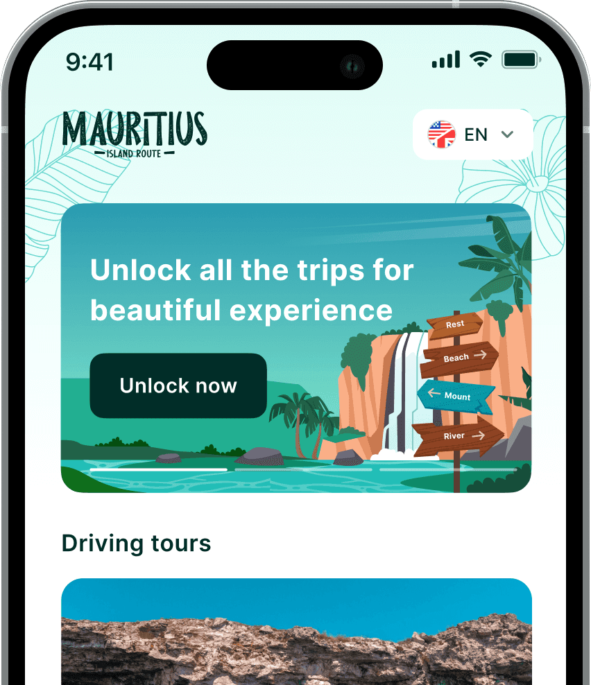
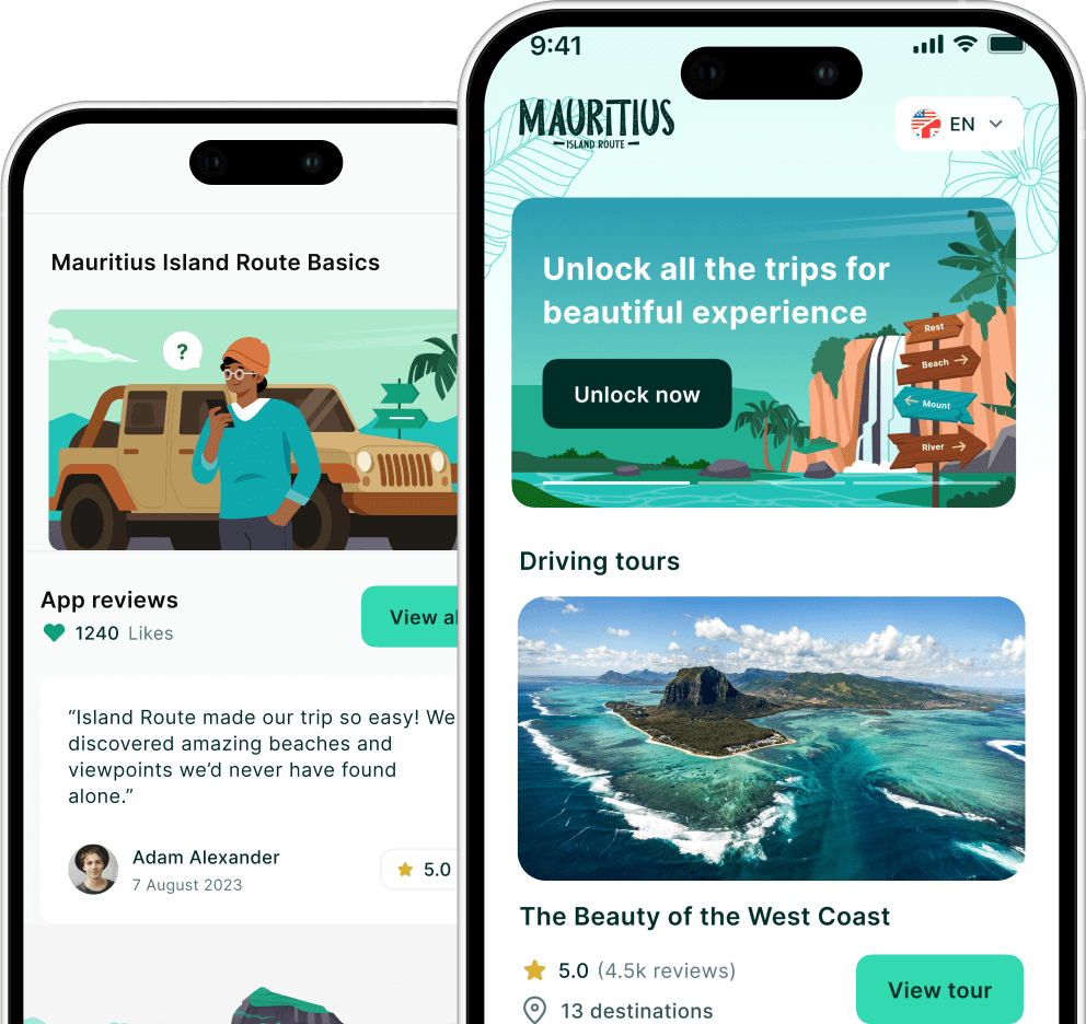
Exploring Mauritius becomes much easier when you have the right digital tools. The Island Route platform helps travellers locate beaches, attractions, and experiences across the island so you can plan smarter routes and maximise your time.
Visit Island Route to discover hidden spots, organise your itinerary, and navigate Mauritius with confidence.