
Mauritius is a compact island nation covering about 788 square miles (2,040 km²), making it easy to explore in a few days. Despite its small size, the island offers diverse landscapes, from beaches and lagoons to volcanic peaks and cultural districts. Its accessibility allows visitors to enjoy the entire island efficiently while experiencing its unique charm.
How Big Is Mauritius? A Comprehensive Guide to the Island
If you have ever wondered how big is mauritius and whether this mauritius island is right for your next getaway, you are in the perfect place. Despite its relatively small stature, Mauritius offers a world of adventures, from sun-soaked beaches to vibrant cultural districts. This guide walks you through everything you need to know about the island’s scale so you can confidently plan an unforgettable trip.
Geographic Location and Regional Context
To understand the physical scale of the nation, one must first look at where it sits in the vast Indian Ocean. According to the Government of Mauritius, the island lies some 2,000 kilometres (1,242 miles) off the south-east coast of Africa. This isolation contributes to its unique biodiversity and serene atmosphere. When travellers ask is mauritius a country, it is important to note that it is a fully independent sovereign state with its own distinct borders and maritime territory.
While the main island is the primary focus for tourists, the where is located mauritius question also encompasses smaller dependencies like Rodrigues and the Agalega Islands. As detailed on Wikipedia, the country is part of the Mascarene Islands, a volcanic chain that includes the neighboring French department of Réunion.
Land Area and Physical Dimensions
Mauritius is a small yet incredibly diverse island nation. Understanding its land area and physical dimensions provides essential context for travellers who want to explore efficiently while maximising their experience. Despite being compact, Mauritius offers a surprising variety of landscapes, from flat coastal plains to elevated highlands and volcanic mountains, all within a short driving distance.
| Comparison | Size |
|---|---|
| Mauritius | 2,040 km² |
| Singapore | 734 km² |
| Rhode Island (USA) | 4,001 km² |
Total Land Area
Main Island Size: The main island of Mauritius covers about 720 square miles (1,865 square kilometres), and the whole Republic, including Rodrigues and the outer islands, covers about 788 square miles (2,040 square kilometres), making it small enough to explore thoroughly in a single visit but large enough to offer a wide range of activities and landscapes.
Population Density: With a population of over 1.2 million residents, Mauritius is one of the most densely populated countries in Africa. This density contributes to vibrant urban areas while still preserving scenic rural and natural regions.
Island Category: Mauritius is classified as a Small Island Developing State (SIDS), which highlights both its compact geography and its ecological importance in the Indian Ocean region.
Island Measurements
Length: Approximately 40 miles (65 kilometres) from the northernmost tip to the southern coast. This makes it feasible to plan full-day trips exploring multiple regions.
Width: About 28 miles (45 kilometres) from east to west, allowing visitors to transition from beaches to mountainous landscapes in under an hour.
Shape: Oval-shaped, which is easy to visualize on maps and digital navigation tools, helping travellers plan routes and estimate travel times between points of interest.
Coastline: Nearly entirely encircled by coral reefs, Mauritius’s coastal geography adds an additional dimension for marine activities and highlights the island’s unique marine biodiversity.
Implications for Travellers
Ease of Exploration: The compact size allows visitors to drive across the island in a short amount of time, making multi-region day trips entirely feasible.
Diverse Experiences: Within a single day, travellers can enjoy sandy beaches, tropical forests, waterfalls, and mountain hikes, thanks to the short distances between regions.
Efficient Route Planning: Using a detailed Mauritius map or a Google Maps guide helps identify the location of districts, beaches, and landmarks to avoid unnecessary travel and make the most of your time.
Time Management: Knowing the island’s dimensions helps estimate travel times, plan overnight stays strategically, and create an itinerary that balances relaxation with adventure.
Cultural Exposure: The compact area also makes it easier to explore local markets, heritage sites, and cultural attractions spread across the nine districts without feeling rushed.
Worldometers puts the population density at about 623 people per square kilometre (2026), so towns and coastal areas can feel lively and busy. Understanding where is republic of mauritius on a map helps visualize this oval-shaped gem. Despite its size, Mauritius has a population of over 1.2 million, as noted by Africapolis, making it one of the most densely populated countries in Africa.
Driving Distances and Regional Exploration
The compact size of the island is its greatest advantage for visitors. You can drive from the northernmost tip to the southern coast in about 90 minutes, depending on traffic. This ease of movement allows travellers to maximise their time. Knowing how many days do you need to see mauritius tourist places is crucial, as most people find that 5 to 7 days provide a comprehensive experience without feeling rushed, or 7 to 10 days for a slower pace.
Even within its 788 square miles, the landscape shifts dramatically. You can move from the flat, sandy plains of the north to the rugged, mountainous terrain of the southwest in less than an hour. WorldAtlas highlights that the island is almost entirely encircled by coral reefs, which adds a significant “marine footprint” to the country’s overall geographic identity.
Exploring the Island: How Big Is Mauritius
Understandinghow big is mauritius reveals a destination that is small enough to explore thoroughly but large enough to offer endless variety. Its 788 square miles are packed with diverse microclimates, high-end resorts, and historic sites. Because it is so accessible, you can enjoy sunrise on the east coast and sunset on the west coast all in a single day. This manageable scale ensures that your tropical getaway is focused on relaxation and discovery rather than long hours spent in transit.
Despite its compact size, Mauritius is packed with things to see – discover every corner of Mauritius at your own pace with Island Route.
Ready to Explore More of Mauritius?
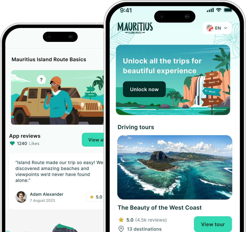
Make your trip planning easier and more rewarding with real insights and navigation tools that are built for modern travellers. The Island Route app lets you explore Mauritius with GPS‑guided audio tours, curated routes, and local travel tips, all designed to help you uncover the island’s best spots with confidence.
Visit Island Route today to download the app, customise your itinerary, and start discovering hidden beaches, cultural highlights, and unforgettable experiences across Mauritius.