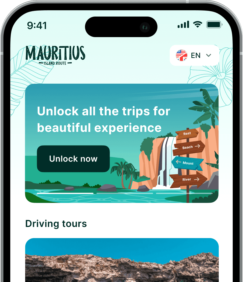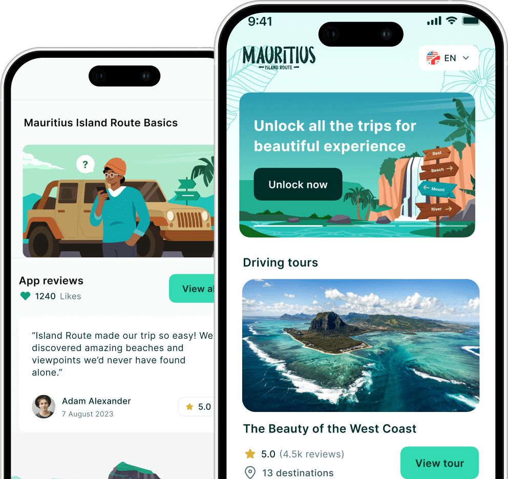

Many visitors struggle to structure their Mauritius trip and end up missing key regions or spending too much time in transit. This guide is designed for first-time travellers who want a clearer, more efficient way to plan their journey. You’ll learn how to use a travel map to organise routes, group attractions by region, and build a balanced Mauritius itinerary.
Planning Your Dream Mauritius Getaway with a Tourist Map
Mauritius is a tropical haven known for its shimmering waters, lush landscapes, and rich multicultural heritage. If you are wondering, how do i use a travel map to plan my mauritius itinerary, the answer begins with a clear visual understanding of the island’s unique layout. A mauritius tourist map acts as your primary guide for organising travel times and discovering hidden spots. According to official tourism statistics, thousands of travellers arrive annually, making efficient planning essential for a seamless island experience.
Visualizing Your Route Across the Island
To begin your planning, you should identify the various regions to understand the daily commute. A district map helps categorize your interests by location, from the bustling north to the rugged south. Data on international tourism shows that visitors often cluster in specific coastal hubs, so mapping your route early is vital to avoid congestion. You can also utilise a google map mauritius to check real-time traffic or find local markets. Urban development reports from the UN Habitat suggest that transit infrastructure is concentrated in specific zones, a factor that directly impacts how you schedule your day trips.
Mapping Beaches and Scenic Landmarks
Many visitors prioritise the coastline when drafting their schedule. By consulting a best beaches map, you can easily see which lagoons are best for swimming, snorkelling, or surfing. For a technical overview of the island’s terrain, ArcGIS spatial data provides insights into the diverse topography, including the mountainous south. It is also helpful to review tourism growth trends to anticipate which areas might be more crowded during peak seasons. Knowing the specific places to visit ensures your map pins represent the absolute best highlights the island has to offer.
Choosing The Right Mapping Tools For Mauritius Planning
Before you start pinning locations and building your itinerary, it’s important to choose the right mix of mapping tools. Different maps serve different purposes, some help with real-time navigation, while others are better for understanding regions and planning balanced day trips. Using the right combination ensures you don’t just find places to visit, but also travel between them efficiently without wasting time on the road.
Digital vs Physical Travel Maps
- Digital maps like Google Maps help with real-time navigation and traffic updates
- Offline map downloads are useful in remote or low-signal areas
- Physical maps are helpful for getting a full island overview at a glance
- Using both together gives the most reliable planning system
Best Tools For Route Planning
- Use Google Maps to pin hotels, beaches, and attractions in advance
- Use travel guide maps to understand regional clusters (north, west, south, east)
- Use weather maps to avoid rainy or windy zones on specific days
- Use itinerary apps to group nearby attractions into daily routes
Smart Mapping Strategy Tips
- Plan one region per day to reduce travel time
- Avoid crossing the island multiple times in one day
- Start early to maximise daylight hours for sightseeing
- Prioritise must-see landmarks before adding optional stops
How Do I Use A Travel Map To Plan My Mauritius Itinerary on Your Strategic Planning
Using a travel map helps you turn Mauritius into a structured and easy-to-explore destination rather than a confusing mix of attractions. By grouping regions, planning daily routes, and balancing beaches with inland sites, you can travel more efficiently and avoid wasted time on the road. By considering factors like a weather map and local traffic patterns, your holiday becomes a stress-free exploration of one of the world’s most beautiful destinations.
Plan Your Mauritius Trip With Local Experts
Ready to simplify your planning process? Visit Island Route for detailed travel guides, route planning tools, and local insights designed to help you build a smooth and personalised Mauritius itinerary. You can also reach out through the website for tailored travel support.