
Many travellers struggle with navigation in Mauritius and miss key attractions due to poor planning. This guide shows where to find the best digital and physical maps and how to use them to plan routes and explore the island more efficiently.
Complete Guide to Finding the Best Travel Map for Mauritius
Planning a vacation to this stunning island nation is an exciting endeavor. Mauritius travel is particularly rewarding when you have a clear plan for exploring its diverse coasts and lush interior. Many travellers arriving at the airport or planning from home often ask: where can I find the best travel map of Mauritius? Having a reliable Mauritius map ensures that you can navigate from the north’s sandy shores to the south’s rugged cliffs without losing your way, making every moment of your journey count.
Understanding Island Geography and Districts
Mauritius is a volcanic island characterised by its distinct administrative regions. Utilizing a map of Mauritius with districts is a practical way to organise your sightseeing, as it helps you distinguish between the lively commercial centres and the secluded nature reserves.
Regional data: High-quality geographical information provided by World Atlas offers an excellent overview of the island’s topography and major townships. By understanding the layout, you can better estimate travel times between your resort and the local landmarks you wish to visit.
Why Understanding Districts Improves Your Travel Planning
- Helps you identify which regions are best for beaches, hiking, or cultural sites
- Makes it easier to group nearby attractions into efficient day trips
- Reduces travel time by avoiding unnecessary cross-island routes
- Improves navigation when using both digital and physical maps
- Gives clearer insight into local lifestyle differences between regions
Digital Versus Physical Mapping Resources
In the modern age, most explorers start their journey with a smartphone. Using a google map Mauritius allows for real-time traffic updates and instant access to restaurant reviews. For those requiring advanced spatial details, ArcGIS offers layered information that is highly useful for specific research.
Digital utility: While apps are helpful, they depend on battery life and signal strength. Therefore, many visitors still seek physical resources to supplement their devices.
Physical backup: If you prefer a professional-grade paper version, Omnimap provides detailed cartographic prints that are perfect for deep-country exploration.
Specialised Tools for Island Exploration
Depending on your itinerary, you may need a map that focuses on specific interests. If your priority is the coastline, a best beaches in Mauritius map will help you find the best spots for snorkelling and swimming.
Niche planning: Because the island experiences varied microclimates, checking a Mauritius weather map is essential for planning outdoor hikes or boat trips. Official platforms like Mauritius Now offer updated travel insights, while specialised blogs such as Mauritius Inside Out provide expert tips on where to visit in Mauritius that are often off the beaten path.
Where Can I Find The Best Travel Map Of Mauritius: Guide To Smarter Island Navigation
Identifying the right resources is the first step toward a successful trip and provides the answer to where to find the best travel map of Mauritius. By balancing the real-time benefits of digital platforms with the reliability of printed materials, you can explore the island with total peace of mind. Whether you are searching for a hidden waterfall or a bustling market, the right map makes all the difference in your overall experience, ensuring you spend more time enjoying the view and less time finding the road.
Plan Your Mauritius Adventure With Expert Travel Resources
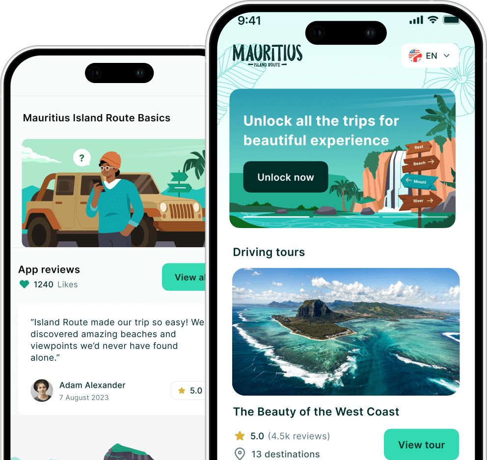
Make your island planning easier with trusted guides and tools from Island Route. Visit Island Route to access curated travel insights, regional breakdowns, and navigation support designed to help you explore Mauritius with confidence. Reach out through the website to start planning a seamless and well-organised trip today.